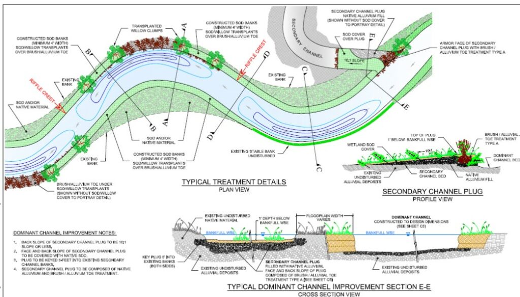
Project supervisor and lead for an ongoing 2- year research effort and design restoration plan funded by the MFWP located in the upper Big Hole Valley, one of the last drainages where a fragmented and meager population of native Montana Arctic grayling persists today. Field assessed and mapped geomorphic parameters of over 12 miles of active channel corridor(s) and adjacent floodplain. Facilitated and supervised work scope for two field seasons (2009-2010), which included: installation and monitoring of data loggers to develop discharge rating curves at nine sites; annual surveys of 30 monument channel and floodplain cross- sections; Bank Erosion Hazard Index (BEHI) rating and mapping; channel profile surveys; annual bed load sampling and size distribution analyses; NRCS riparian vegetation assessments; and, development of a comprehensive design restoration plan to be phased over the next three years.
